 If you caught my previous post, you’ll know I (JOM) was missing a few important items – gravel bike, cycling kit and other essentials. Forward twenty four hours later, and everything is back in order – thank you Qantas Airlines for coming through! Definitely a First World Problem, I am nevertheless grateful to have my belongings returned.
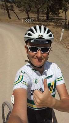
With a gravel bike at my disposal, it was time to knock out a route I’d been wanting to ride for some time. The idea came courtesy of suggestions received from fellow gravel ciclistas in my home town of Adelaide, South Australia. A special thanks to Andrew from Goolwa!
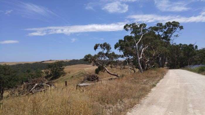
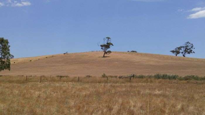
The ride would traverse much of the Fleurieu Peninsula, an area world-renowned for its wine grapes; but not so known for its amazing network of dirt and gravel roads. Beginning Victor Harborin the seaside town of Victor Harbor, the route would wind its way through Mount Compass, Myponga, Yankalilla and the outskirts of Normanville, and return to Victor Harbor.
Unfortunately, I (JOM) got off to a bit of a late start, delayed in the morning by the assembly of my gravel bike. Victor Harbor itself is over 50 miles (80 kilometres) from where I’m staying, so I didn’t get rolling proper until midday. But with daylight savings active here in Australia, no worries!
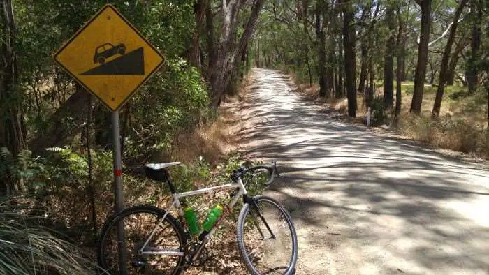
Did I mention this route was hilly? Almost straight out of the blocks, the climb of Greenhills Road gets things underway. This would set the tone for much of the day’s riding. If you check my Strava file at the bottom of this post, you’ll see what I mean.
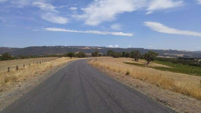
The climbs through Hindmarsh Valley were very steep, with sections measuring 16% to 18% on my handy Garmin 800 navigation device. Suffice to say, I was rather chuffed I’d packed an extra low gear on my gravel travel rig; now fitted with a 36 tooth low cog. The Lindarets RoadLink accommodated this change with my existing short cage derailleur in less than five minutes. Brilliant!
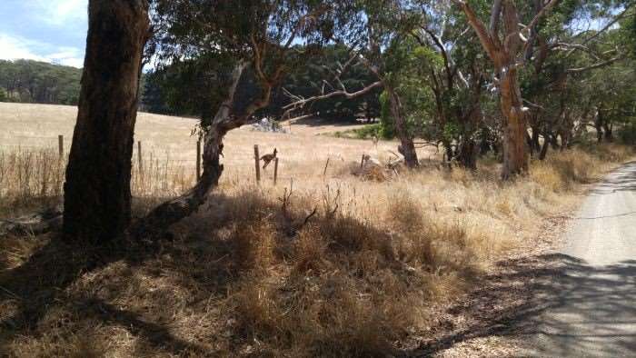
After a pile of hard work early into the ride, copious perspiration had oozed from my pores. This event was aided by the warm temperatures and the fact I (JOM) had started the ride so late in the day.
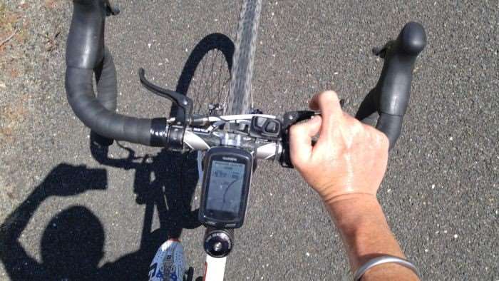
As a good route planner, I had taken the liberty of designing my route to travel through as many towns as possible, providing the best chances for hydration.
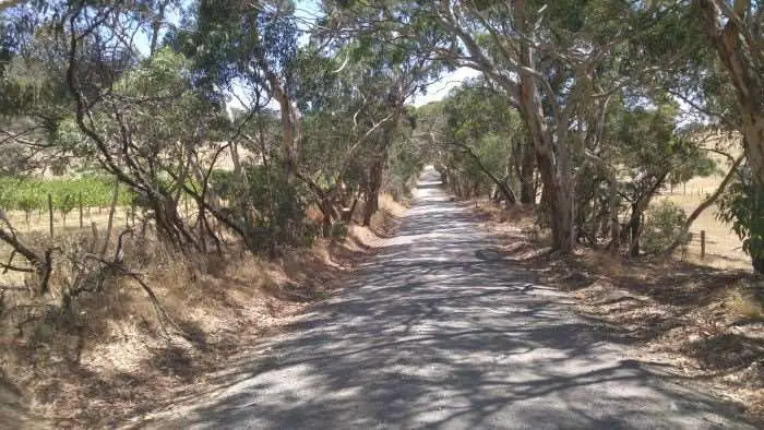 The small town of Mount Compass came reasonably early into the route, and I took the opportunity to refuel. One thing needs to be stated about convenience stores and petrol stations in Australia. If you live in America and are used to the idea of paying $US .99c – $1.29 for a Gatorade / Powerade, think again. Expect to pay anywhere from $4 – $5 AU each! On the positive, whether energy drinks or Coke / Pepsi are your thing, the Aussie variants seem to taste better, and are devoid of nasty bollocks such as High Fructose Corn Syrup (let’s not start a debate on this subject please).
Also, the lady at the store thought I was mental for attempting this ride. She was probably right.
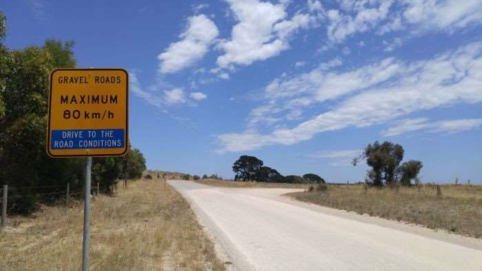
Another important fact that many of you may already be aware of – in Australia, motor vehicles are right hand drive – and drive on the other side of the road. If you visit Australia as a cyclist, you will be riding on the left side of the road, and need to pay extra close attention at intersections! If you need a real world example of someone who had difficult adjusting, just ask K-Dogg of the Gravel Cyclist crew about his 2011 trip to Australia with JOM 🙂
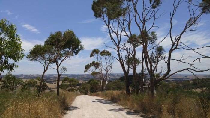
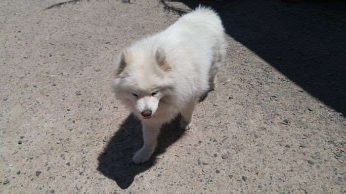
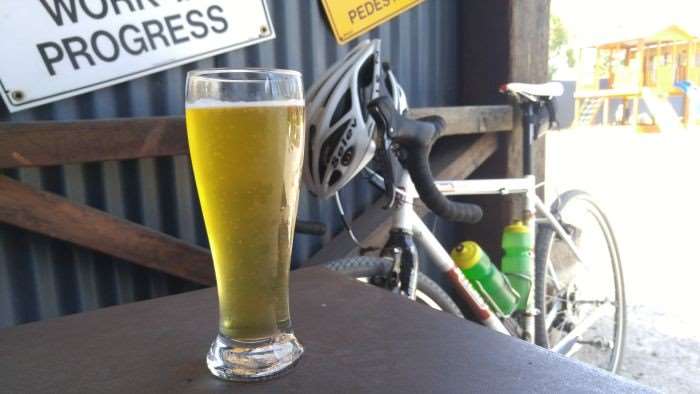
 Drawing reference upon my brilliant, but mostly lucky route planning, the town of Myponga came into view after 28 miles / 46 kilometres. It turns out Myponga is home to the Smiling Samoyed Brewery, complete with food and indoor / outdoor dining. I (JOM) took the chance to imbibe in a pint of the brewery’s Kolsch – a German style Golden Ale. The brew and the sometimes company of one of the three Samoyed doggies of which this brewery is named after, really hit the spot!
Post brewski stop, my seemingly brilliant route planning went a little awry. It is always a bad sign when a street sign clearly reads – No Through Road. This can mean one of two things – No Through Road if you’re a vehicle, or No Through Road for anybody. For the most part, this road turned out to be the former, although what I (JOM) traversed, wasn’t really a road.
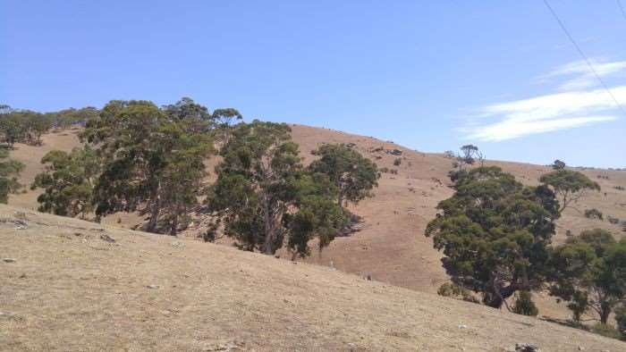
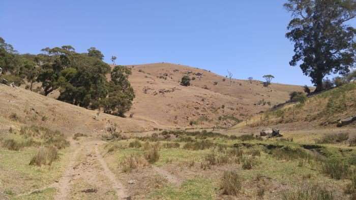 This turned out to be a massive piece of property that was mostly a cow pasture. Curse Google maps / myself for not scrutinizing the satellite view closely! After dropping down to the valley, my route on the Garmin navigation gadget continued along the driveway of sorts you see above. Deliberately trespassing is never part of my agenda, but I was hoping I could continue following the route. It wasn’t like there was a detour…
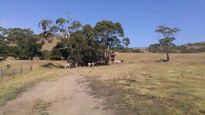
Thankfully, I (JOM) made it safely out of the pasture and back onto legitimate dirt and gravel roads. Whether or not I jumped a couple of cow gates is a subject of conjecture, but as I was riding solo, there are no witnesses to confirm or deny my actions 
Remember, trespassing is not recommended! Moving on…
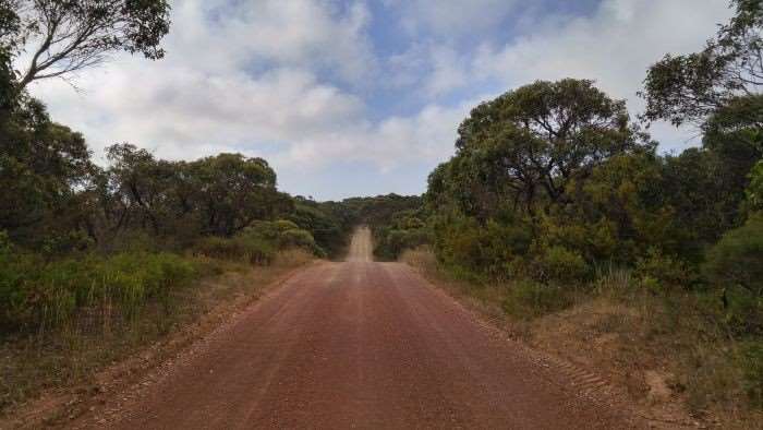
Not long after my pasture excursion, I was greeted with this sight. Stunningly beautiful but mercilessly steep.
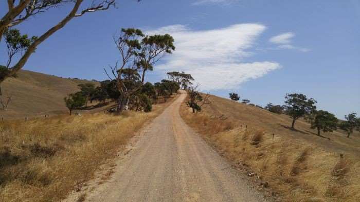
Once the first climb was crested, I was greeted by its cousin, measuring somewhere around 19% at the top. Double ouch.
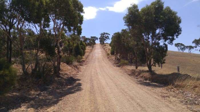 These nasty little hills were traversed and eventually, I made it to the town of Yankalilla. I’ll spare everyone the details, but I made up for my calorie deficiency by consuming a lot of sugary liquid and a local baked delicacy.
At this point of the route, I was just over the half way point with no more stop options. Hmmm. And, to make things interesting, there was a very stiff headwind out of the south / southwest. To make it further interesting, the most difficult climb along the route (it was named, but I forget it) appeared at around kilometre 83 / mile marker 52. While my legs felt pretty good, in no way could I go deep on this climb with so much still to ride. I chugged along in my 34 x 36 low gear and ground my way up it. I am quite thankful it was paved. Sorry, I was too concerned with staying upright and didn’t take photos of this berg.
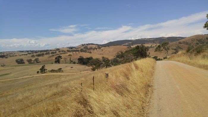 With the day drawing on and a real chance I would not complete the ride at a reasonable hour, I decided to cut two gravel sectors from the route. There was also a weather change in the works, and the wicked wind I referenced to earlier continued to stiffen. Rule of thumb – always figure a Plan B.
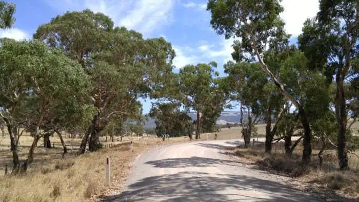
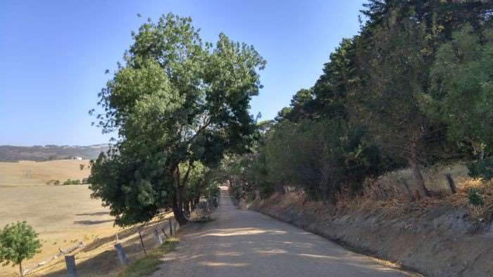
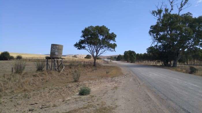 Regardless of the difficulty of this route, it featured some stunning scenery. Most of which is never seen by cyclists or motorists.
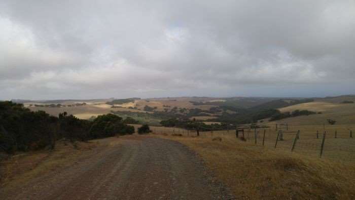
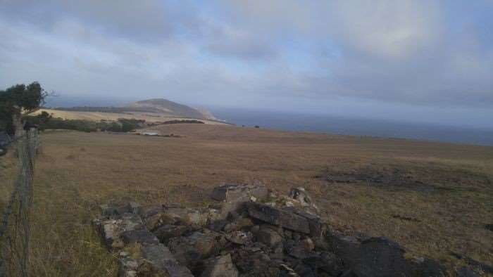
Many hours after starting out, I safely returned to Victor Harbor, but only after a little paved detour. Locals ciclistas will know Range Road, in particular how windswept it can be.
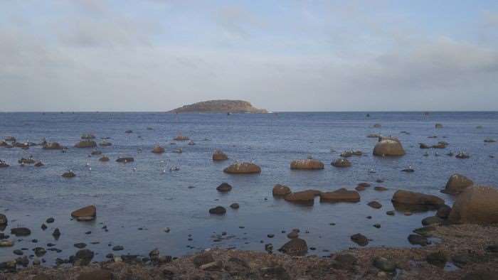
But the view below that came close to home made it all worthwhile.
For those so inclined, you can check out my ride HERE. It is highly likely I (JOM) will be taking it very easy tomorrow!
Thanks for reading!


Beautiful shots!
Looks like you’ve found some awesomely painful dirt!
Too bad you have to deal with riding on the wrong side of the road. The
three lane round-a-bouts were terrifying!
Hmm….is that the same roo from the last ride or are you moving an inflatable
one around with you?
I’m just sayin’
OTHER side of the road. Not the wrong side of the road. So many ‘roos, so little time to photograph them all.
Thanks for the write-up! It’s always fun reading about others’ adventures during our colder months here in Colorado, especially since I’m couch-bound with a nasty little bug. It helps fuel the stoke for when I’m able to get back out there!
The beauty of that ride struck me, as it is so completely different from the scenery here in the US Southwest. Thanks for sharing and keep up the great work!
Steve
great ride jom and some stunning scenery. I could almost feel your suffering on some of those climbs. Hope to share a ride with you soon. ab
21% at the top (foto) is looking like Strade Bianche
My legs felt every % of that grade. There was a paved climb even steeper at 23.8% (let’s say 24% for good measure). I was all over my 34 x 36 gear!